Shezi Island Tip Wetland
社子島島頭濕地· Nature
About
As its name suggests, the wetland lies at the tip of the island where the Keelung River meets the Tamsui River. It covers only 1 hectare.
Read more
The tip is a flat that the Taipei City Government built up with soil dredged from the Keelung River. It is grassed over, with stone-slab paths and boardwalks leading to a viewing platform. The viewing platform is often crowded with anglers. From here you can watch the Keelung and Tamsui rivers meet and flow on towards the sea, with a 270-degree river view. To the right are Guandu Temple, busy with worshippers, and the red Guandu Bridge; to the left, in the distance, is Guanyinshan. Little egrets often fly across. To the left of the platform is a dense mangrove wetland, facing the wetland of Guandu Nature Park on the opposite bank, and at low tide fiddler crabs can be seen poking out of the mud.
Translated and shortened by DealTaipei from Taiwan's national tourism database. Sources are on the terms page.
Facts and sources
- Names
- EN Shezi Island Tip Wetland中文 社子島島頭濕地한국어 서쯔다오 섬끝 습지 Chinese from the listing; English by DealTaipei
- District
- Shilin District · 士林區 Tourism Administration listing, updated 2026-05-28
- Opening hours
- Not in the listing Tourism Administration listing, read 2026-09-30
- Phone
- (02)27208889 Tourism Administration listing. May be Chinese only
- Data
- /api/sight/shezi-island-tip-wetland.json The same facts as JSON, for apps and AI agents
Getting there


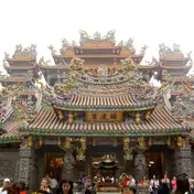 Guandu Temple Temple · 898 m away
 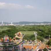 Guandu Nature Park Park and garden · 1114 m away
 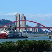 Guandu Pier Riverside and wharves · 1293 m away Guandu, Jinse Waterfront and Bali Left Bank Cycle Path Cycle path · 1474 m away
 Sources and photo credits are on the terms page.